

Preparing fake documents by land grabbers to occupy a part of the Karatoa River and constructing establishments.
Powerful people of those are have occupied large areas of land on both sides of the river in the two districts. Their aims of those people build multi-story buildings there. The environment department identified grasped river land where some people including Non-Government Organizations (NGOs) even included Thangamara Mohila Shabuj Shango and Diabetic Hospital in Bogra.
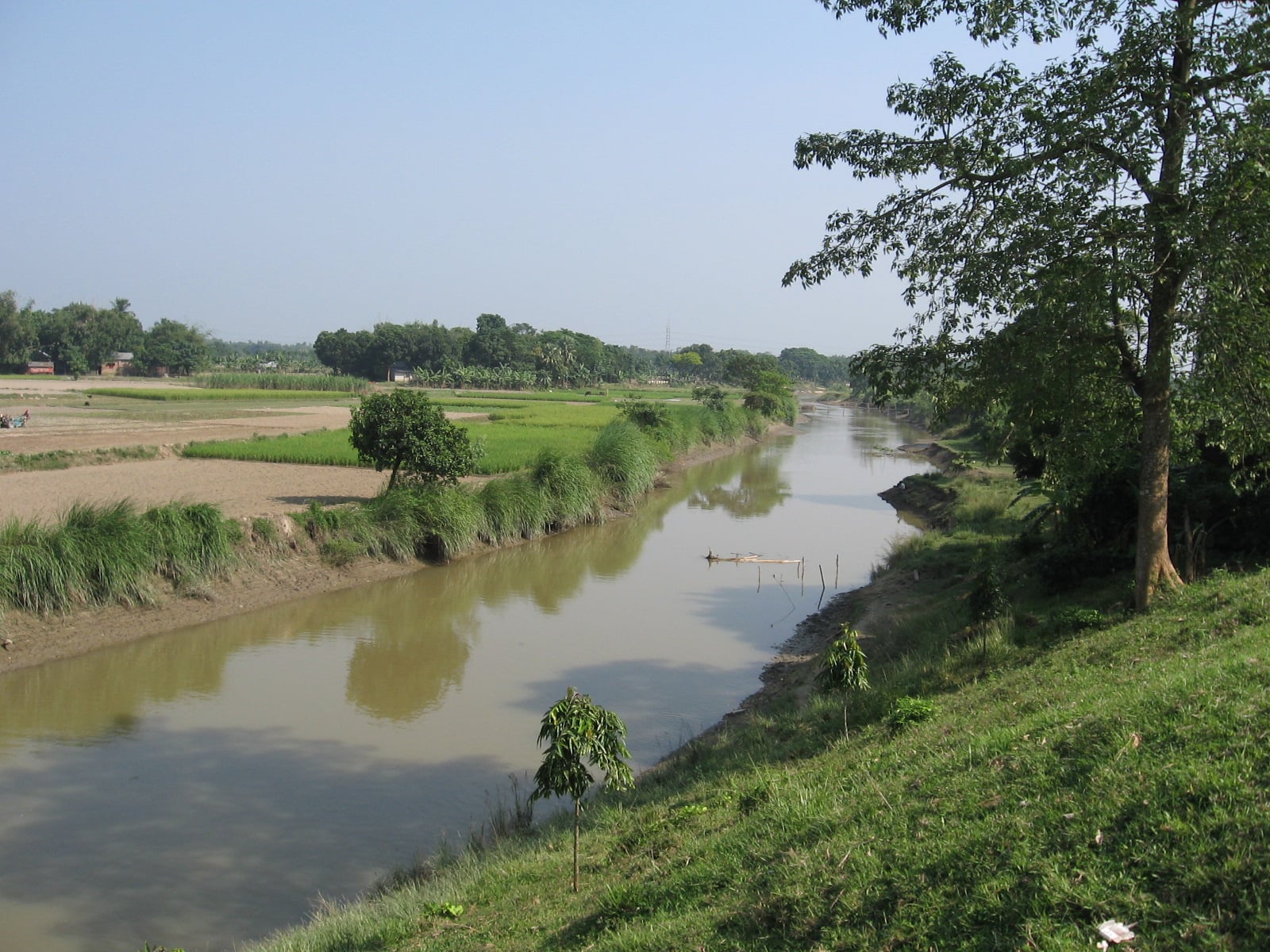
WDB Bogra district Sub-Assistant Engineer AKM Najmul Hassain said that already has been occupied for farming and other purposes by encroachers about 57 kilometers of the 86.75 kilometers channel from Khalisha to Khanpur.
The river lost Khalisha in Gaibandha to Khanpur channel in Bogra which is considering as the main channel of the river before about 23 years ago, said WDB officials.
To run the water flow of the river, WDB in Khalisha area constructed a three-vent control device in 1989. Farmers on both riverbanks started the cultivation of Boro (One kind of crop) and other kinds of seasonal crops from Khalisha to Khanpur from the beginning of the winter period. And policy needs to implement here.
The environment department has been taken an initiative to restore the flow of the river from Khalisha of Gobindaganj upazila in Gaibandha to Khanpur of Sherpur Upazila in Bogra district. WDB sources said that the department prepares to make gabbers’ list to expel them and restore the river channel.
M Inamul Haque mentioned in his book ‘Water Resources Management in Bangladesh’ that from the Rennell’s Map of 1779 it comes into sights that the Karatoa began from the foothills of the Himalayas in Darjeeling of West Bengal (India) and joined the Atrai River in the plains. According to the DoE Bogra officials, the river is dangerously polluted by chemical, household and industrial waste presently.